Navigating the world around us, both literally and figuratively, requires a foundational understanding of maps. But maps aren’t just pretty pictures hanging on walls; they’re powerful tools for understanding spatial relationships, visualizing data, and making informed decisions. Understanding the different types of maps and their purposes is a crucial skill, particularly for students of geography, history, and even environmental science. A “Types of Maps Worksheet” serves as an excellent resource for introducing or reinforcing these concepts, helping learners differentiate between various map projections and thematic representations. This post will explore the key types of maps you’ll encounter and highlight the importance of understanding their unique characteristics.
Exploring the World Through Different Lenses: Answering the Types of Maps Worksheet
A “Types of Maps Worksheet” typically asks students to identify different kinds of maps based on their visual characteristics or descriptions. The exercises can involve matching map types to definitions, interpreting map symbols, or even analyzing the information conveyed by various map projections. Correctly identifying these types allows students to appreciate the complexities of cartography and the deliberate choices made by mapmakers to represent specific information. Here’s a breakdown of the answers you might find on such a worksheet:
Common Types of Maps and Their Characteristics
- Political Maps: These maps focus on boundaries, showing countries, states, cities, and other political divisions. They are characterized by their emphasis on borders and place names. Political maps primarily display human-made divisions of the earth.
- Physical Maps: In contrast to political maps, physical maps highlight the natural features of the earth, such as mountains, rivers, deserts, and lakes. Elevation is often represented using color shading (hypsometric tints) or contour lines.
- Topographic Maps: These maps are detailed representations of the earth’s surface, showing both natural and man-made features. They use contour lines to illustrate elevation changes, making them useful for hiking, surveying, and engineering projects. A key characteristic is the use of contour lines to show the shape and elevation of the land.
- Climate Maps: Climate maps display information about regional climates, showing temperature ranges, precipitation patterns, and prevailing winds. They often use colors to differentiate climate zones, such as tropical, temperate, or arid regions.
- Resource Maps: These maps show the distribution of natural resources, such as minerals, oil, forests, and agricultural products. Symbols or colors are used to indicate the location and abundance of these resources. They are crucial for understanding economic activity and resource management.
- Road Maps: Designed for navigation, road maps show highways, roads, cities, and towns. They often include information about distances, points of interest, and rest areas. Key features include road classifications and directions.
- Thematic Maps: This is a broad category that encompasses maps focusing on a specific theme or topic. Examples include population density maps, disease prevalence maps, and economic activity maps. Thematic maps use various techniques, such as color gradients (choropleth maps), graduated symbols, or dot density to represent data. The defining characteristic is the focus on a single, specific topic.
- Choropleth Maps: A type of thematic map where areas are shaded or patterned in proportion to the measurement of the statistical variable being displayed on the map, such as population density or income levels. Different shades of a color typically represent different ranges of values.
- Dot Density Maps: Another type of thematic map that uses dots to represent the occurrence of a phenomenon. Each dot represents a certain quantity, and the density of dots in a particular area indicates the concentration of the phenomenon.
- Flow Maps: Flow maps illustrate movement or flow between locations, such as migration patterns, trade routes, or traffic volume. Arrows of varying widths are often used to represent the magnitude of the flow.
Completing a “Types of Maps Worksheet” equips students with a valuable toolkit for interpreting and creating their own maps. It promotes critical thinking skills by encouraging them to analyze the purpose and limitations of different map types. Ultimately, understanding the diverse world of maps enhances our ability to navigate, analyze data, and make informed decisions about our planet and its inhabitants. By mastering these fundamental concepts, students gain a deeper appreciation for the power and versatility of maps as essential tools for understanding the world.
If you are searching about Reading A Map Worksheet Kindergarten you’ve came to the right place. We have 20 Images about Reading A Map Worksheet Kindergarten like How to Teach Types of Maps – Upper Elementary – Thrive in Grade Five, Different types of Maps – Worksheets Library and also Topographic Map Worksheet Topographic Map Reading Worksheet. Here it is:
Reading A Map Worksheet Kindergarten
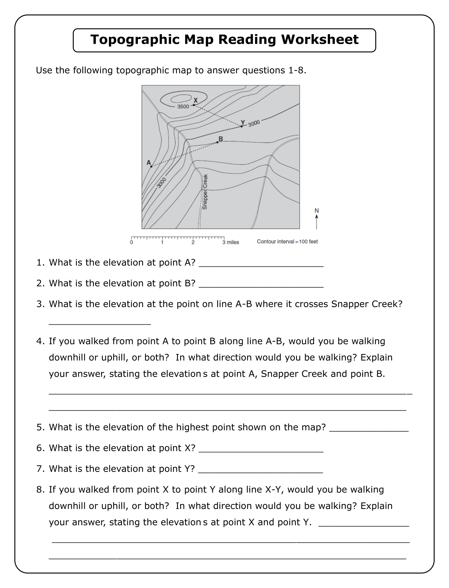
amaphupho9izstudyquizz.z13.web.core.windows.net
Map Directions Worksheet
ar.inspiredpencil.com
Topographic Map Worksheet Topographic Map Reading Worksheet
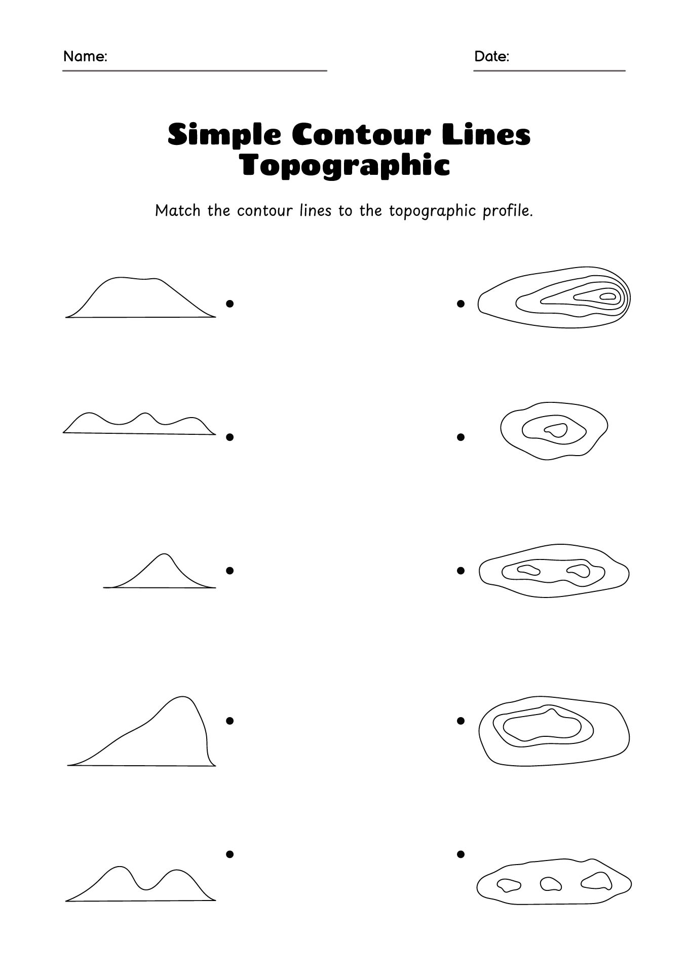
ulceraviwqxdblearning.z13.web.core.windows.net
Printable World Map Worksheet
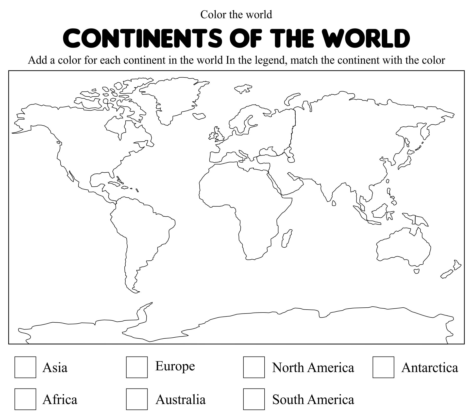
old.sermitsiaq.ag
Maps For Kids Worksheet

lessonlibrarystower.z22.web.core.windows.net
Free Matching Shapes Worksheets: Activities And Printables
www.storyboardthat.com
Types Of Maps Worksheet – Pro Worksheet
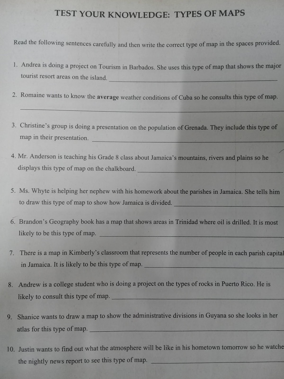
www.proworksheet.my.id
Different Types Of Maps – Worksheets Library

worksheets.clipart-library.com
Types Of Maps Worksheet Luxury Different Types Maps Worksheet The Best
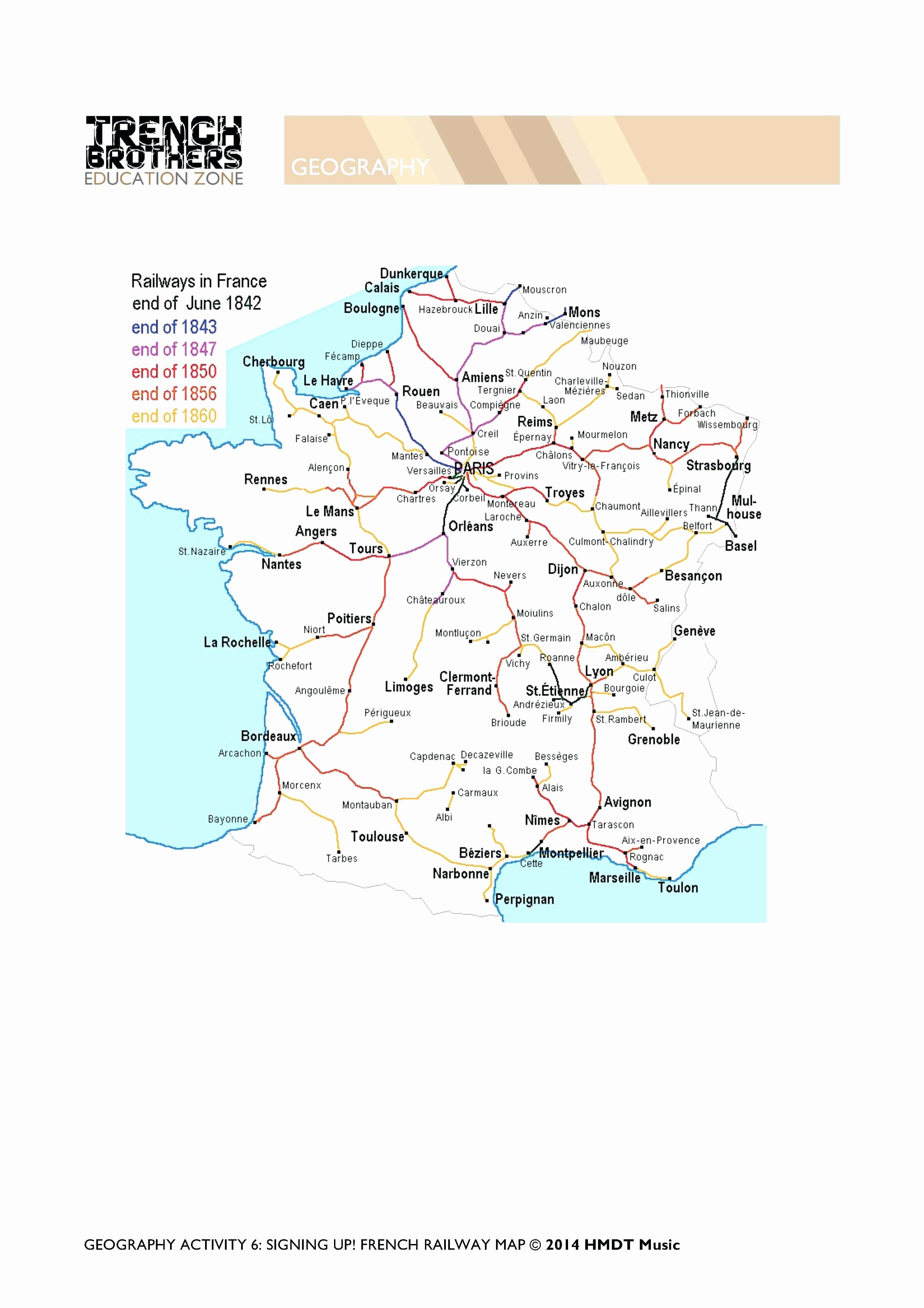
chessmuseum.org
Different Types Of Maps Worksheet
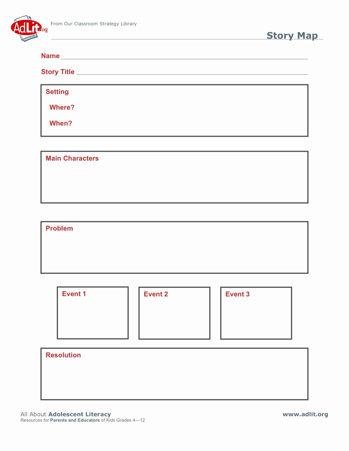
mavink.com
Types Of Maps Worksheet

campuccieqldblearning.z13.web.core.windows.net
Map Skills – Printables And Worksheets – Make Your Own Map

worksheets.clipart-library.com
Types Of Maps Worksheet Luxury Quiz & Worksheet Paring Types Of
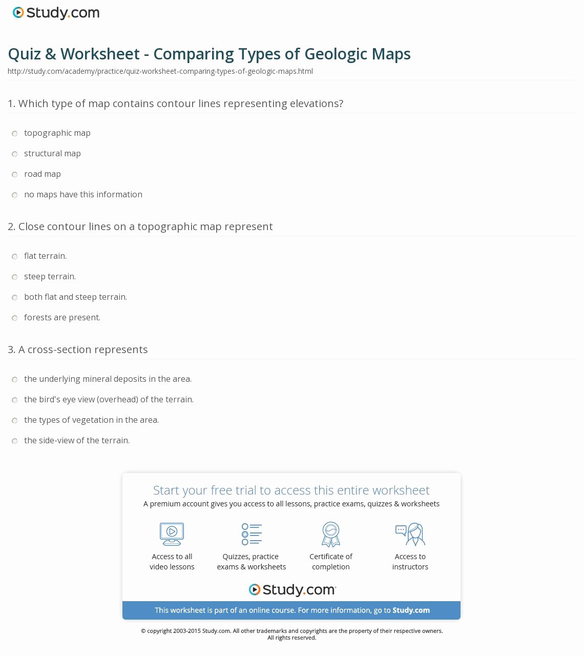
chessmuseum.org
Types Of Maps Worksheet – Pro Worksheet

www.proworksheet.my.id
Map Skills – Worksheets Library

worksheets.clipart-library.com
Introduction To Maps (Years 1-2) | CGP Plus – Worksheets Library

worksheets.clipart-library.com
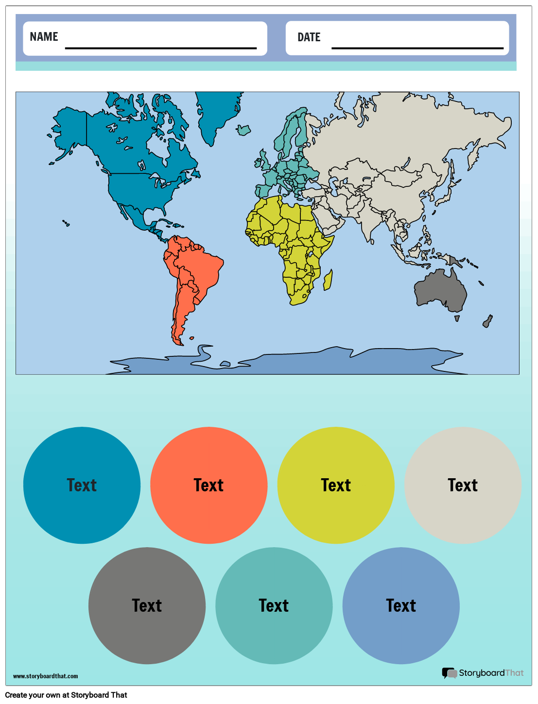
Geography Worksheets – Worksheets Library
worksheets.clipart-library.com
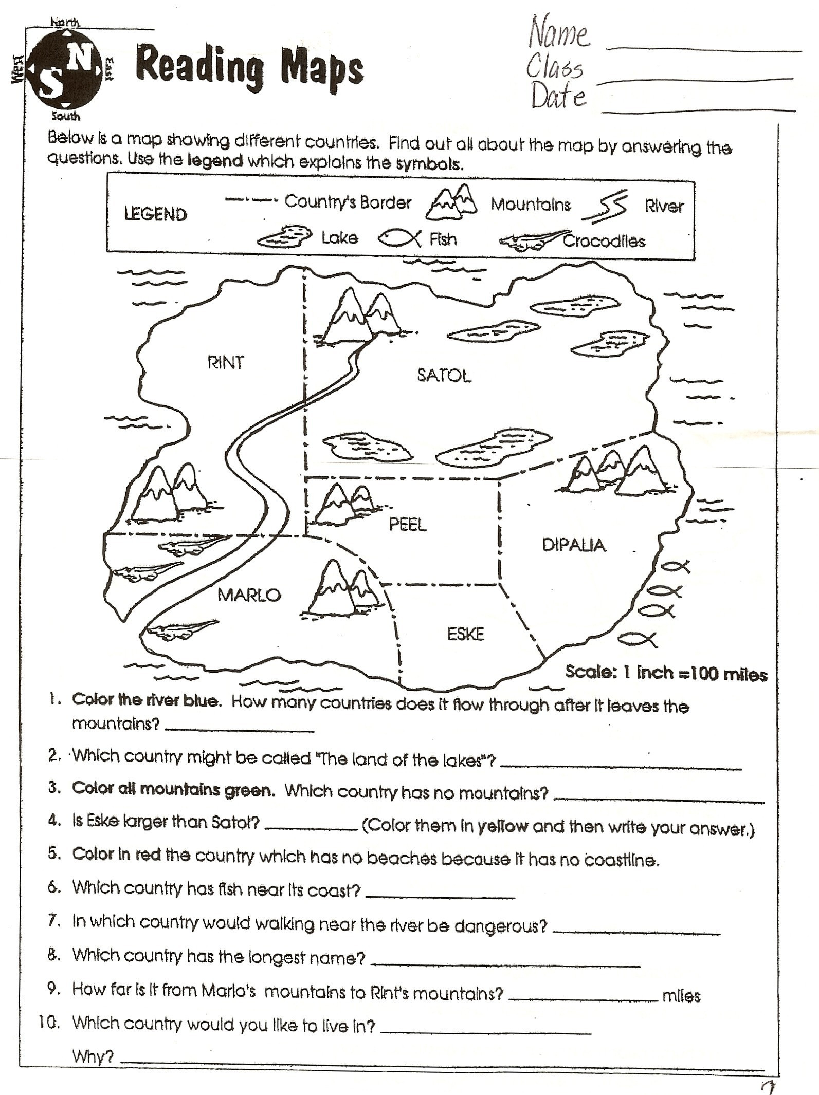
Worksheets About Landforms – Worksheet24
worksheet24.com
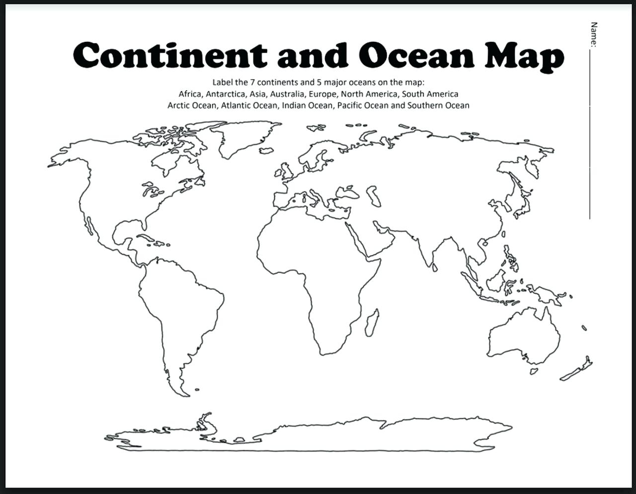
Free Printable Map Worksheets
worksheettokioetc.z21.web.core.windows.net
How To Teach Types Of Maps – Upper Elementary – Thrive In Grade Five

worksheets.clipart-library.com
Map skills. Maps for kids worksheet. Introduction to maps (years 1-2)